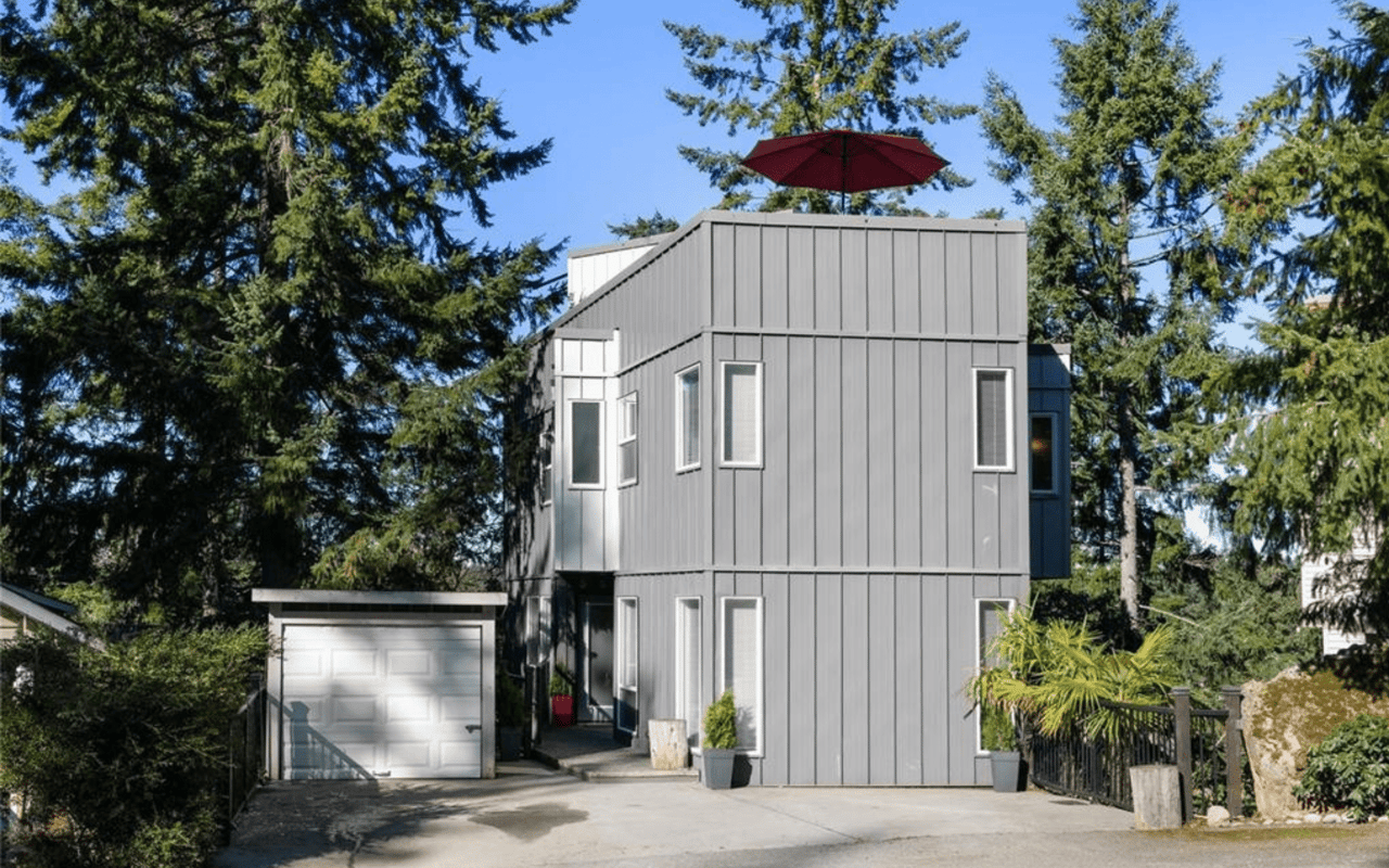
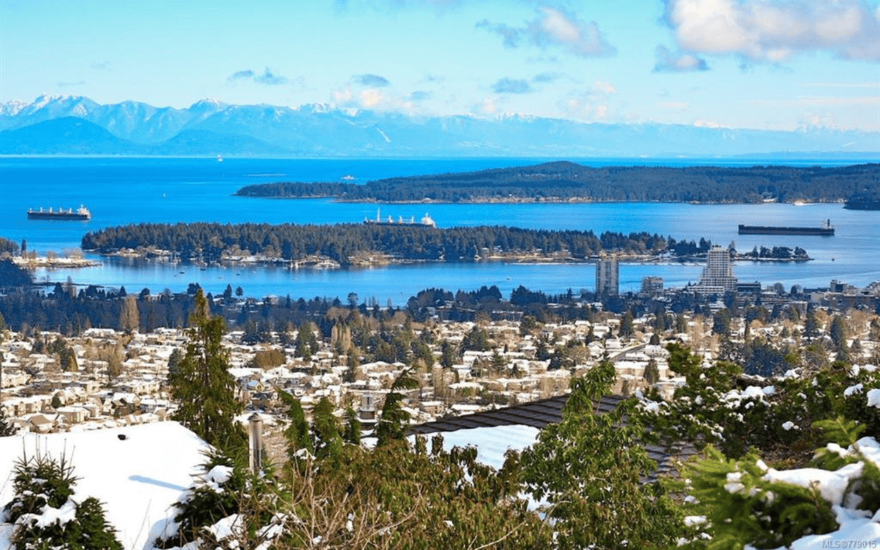
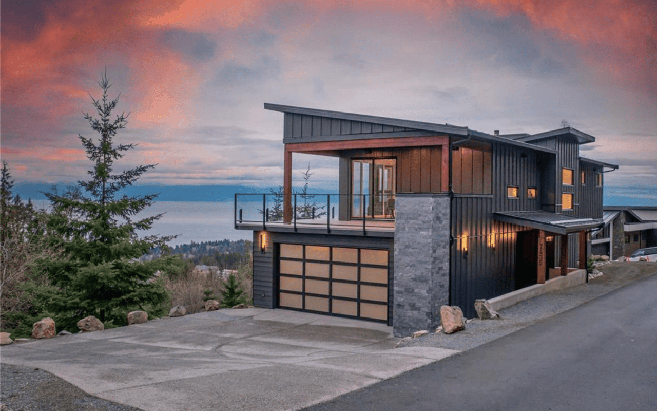
Upper Lantzville, located just north of Nanaimo, is a tranquil and picturesque neighbourhood renowned for its spacious family homes and expansive properties. With a variety of acreage lots ranging from a quarter acre to half an acre, this area offers both space and privacy. Many homes here are endowed with sweeping views of the ocean and the nearby Winchelsea Islands, offering residents a daily dose of natural beauty that elevates the charm of the area.
In addition to its stunning landscapes, Upper Lantzville boasts several parks that enhance the community's appeal. Copley Ridge, Rotary Park, and Huddlestone Park provide abundant green space for outdoor recreation. Huddlestone Park, in particular, is a favorite for families, featuring a large children's playground, ample picnic areas, and plenty of open space for outdoor activities.
The area is also home to a variety of unique local attractions, including Superior Farms, the scenic Lantzville Lookout, the Lantzville Art Gallery, and wellness centers like Red Door Yoga and Rise & Align Pilates Studios. These offerings provide residents with a wealth of opportunities for both relaxation and recreation, contributing to the neighbourhood’s laid-back yet active lifestyle.
Lantzville is cherished for its strong sense of community, where residents enjoy a tight-knit, small-town atmosphere. Neighbours greet one another with warmth and friendliness, making it an inviting place for newcomers and long-time residents alike. With its blend of natural beauty, recreational offerings, and community spirit, Upper Lantzville is truly a special place to call home.
More information: https://www.lantzville.ca/cms.asp?wpID=406
772 people live in Upper Lantzville, where the median age is 52 and the average individual income is $124,000. Data provided by Statistics Canada.
Total Population
Median Age
Population Density Population Density This is the number of people per square mile in a neighborhood.
Average individual Income
There's plenty to do around Upper Lantzville, including shopping, dining, nightlife, parks, and more. Data provided by Walk Score and Yelp.
Explore popular things to do in the area, including The Pie Factory, Poke Page, and The Curry Culture.
| Name | Category | Distance | Reviews |
Ratings by
Yelp
|
|---|---|---|---|---|
| Dining | 3.81 miles | 9 reviews | 4.9/5 stars | |
| Dining | 3.25 miles | 4 reviews | 5/5 stars | |
| Dining | 3.49 miles | 7 reviews | 4.7/5 stars | |
| Dining | 3.95 miles | 36 reviews | 4.7/5 stars | |
| Dining · $$ | 4.39 miles | 46 reviews | 4.7/5 stars | |
| Dining | 3.49 miles | 24 reviews | 4.7/5 stars | |
| Dining | 1.91 miles | 3 reviews | 5/5 stars | |
| Dining · $$ | 3.51 miles | 10 reviews | 4.5/5 stars | |
| Nightlife | 4.57 miles | 3 reviews | 5/5 stars | |
|
|
||||
|
|
||||
|
|
||||
|
|
||||
|
|
||||
|
|
Upper Lantzville has 295 households, with an average household size of 2.6. Data provided by Statistics Canada. Here’s what the people living in Upper Lantzville do for work — and how long it takes them to get there. Data provided by Statistics Canada. 772 people call Upper Lantzville home. The population density is 0.192 and the largest age group is Data provided by Statistics Canada.
Total Population
Population Density Population Density This is the number of people per square mile in a neighborhood.
Median Age
Population by Age Group
0-9 Years
10-19 Years
20-24 Years
25-64 Years
65-74 Years
75+ Years
Education Level
Total Households
Average Household Size
Average individual Income
Households with Children
With Children:
Without Children:
Marital Status
Blue vs White Collar Workers
Blue Collar:
White Collar:
Embark on Your Nanaimo Home Journey with the Charlie Parker Team! Connect with our expert team for real estate excellence. Your dream home awaits!